Volunteers survey for marine debris on a beach.

Monitoring

Making repeated measurements or observations about marine debris is an important way to understand the problem at regional and local scales. Monitoring helps us understand the amount, types, and sources of marine debris that are most common, where it accumulates, and if it is changing over time. Information collected from repeated shoreline surveys can be used to set targets for prevention and mitigation, and to measure success in reaching those targets.

The NOAA Marine Debris Program is authorized by Congress to work on marine debris through the Marine Debris Act. The Act requires the program to identify, determine sources of, and assess marine debris. We meet this mandate through our shoreline monitoring initiative, which helps us understand the amount and types of debris found on shorelines across America.

NOAA’s Shoreline Monitoring Initiative

The NOAA Marine Debris Program launched the Marine Debris Monitoring and Assessment Project (MDMAP) in 2012 as NOAA’s first shoreline monitoring initiative. The MDMAP documents macro-sized marine debris (roughly the size of a bottle cap or larger) on shorelines and functions as a network of partnering organizations and volunteers who contribute their data to form a bigger picture of the issue. Anyone can get involved

Other Ways to Collect Marine Debris Data

On the go? There are many different ways you can collect information about marine debris and litter in your community! Another popular way to document debris is by using apps that are designed to record counts of debris items on your phone. Check out some of the apps supported by the NOAA Marine Debris Program’s current and previous partnerships.

The Marine Debris Monitoring and Assessment Project engages NOAA partners and volunteers to survey and record the amount and types of marine debris on shorelines.
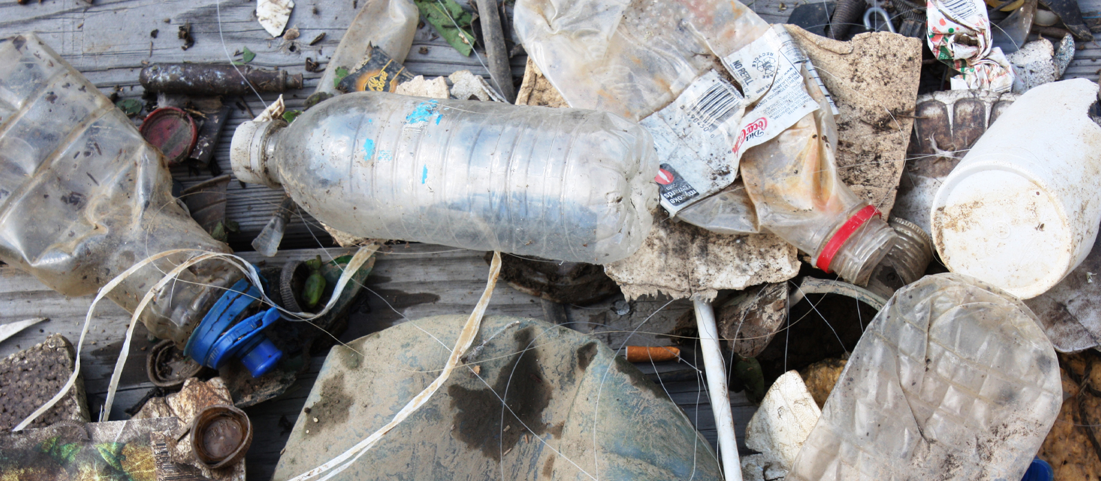
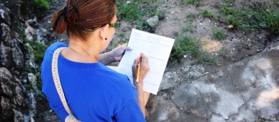
The NOAA Marine Debris Program is conducting the NOAA Marine Debris Monitoring and Assessment Project Nationwide Survey, a one-year standalone assessment to establish regional estimates of marine debris found on U.S. shorelines.
Scientists and statisticians with the University of Washington’s Coastal Observation and Seabird Survey Team (COASST) are collaborating with the NOAA Marine Debris Program (MDP) to conduct shoreline monitoring field trials to evaluate and update the NOAA Marine Debris Monitoring and Assessment Project (MDMAP) and COASST marine debris monitoring protocols.
The Ocean Conservancy, with the Commonwealth Scientific and Industrial Research Organisation, led a research project which analyzed datasets from the International Coastal Cleanup and NOAA's Marine Debris Monitoring and Assessment Project. It identified trends in marine debris distribution using a model, assessed management actions, and produced recommendations to improve monitoring protocols.
Virginia Coastal Zone Management Program and local partners worked with the NOAA Marine Debris Program to evaluate and expand regional marine debris monitoring efforts.
The Greater Farallones National Marine Sanctuary worked to monitor marine debris in the Sanctuary.
The Olympic Coast National Marine Sanctuary worked to monitor marine debris in the Sanctuary.
The Cooperative Institute for Marine Resources Studies at Oregon State University worked to develop a pilot marine debris monitoring program for the Oregon Coast.

For citation purposes, unless otherwise noted, this article was authored by the NOAA Marine Debris Program.

Last updated